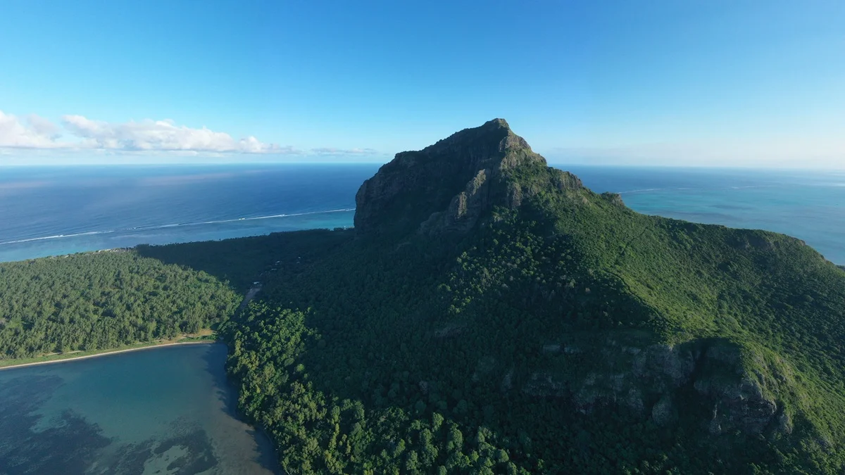
Le Morne
About 6.6 km return to the metal cross3.5 to 4.5 hours
Access conditions apply
Hiking in Mauritius
A different side of the island.
Find a trail. Take your time.
For the days you want to go a little further.
A local guide to the island’s trailsThe trail collection
About 6.6 km return to the metal cross3.5 to 4.5 hours
Access conditions apply

9 km return3 to 4.5 hours
Confirm access before you go
14 km return4 to 5.5 hours
Confirm access before you go

6 km return2 to 3 hours
Confirm access before you go

About 4 km return3 to 4 hours
Confirm access before you go

5 km loop1 to 1.5 hours
Access conditions apply

Route varies. A common guided route is about 3 kmAbout 3 hours
Confirm access before you go

About 6 km for a guided summit route5 to 6 hours
Confirm access before you go
Choose your surroundings
Coastal mountains, green interiors and water carved valleys. Start with the landscape.
One island. Many paths.
Tap a place on the map or swipe through the hikes to find your corner of Mauritius.
Map loads when needed
About 6.6 km return to the metal cross3.5 to 4.5 hours
Access conditions apply
9 km return3 to 4.5 hours
Confirm access before you go
14 km return4 to 5.5 hours
Confirm access before you go
6 km return2 to 3 hours
Confirm access before you go
About 4 km return3 to 4 hours
Confirm access before you go
5 km loop1 to 1.5 hours
Access conditions apply
Route varies. A common guided route is about 3 kmAbout 3 hours
Confirm access before you go
About 6 km for a guided summit route5 to 6 hours
Confirm access before you go
Pins show approximate trail areas, not hiking routes. Hikes that lie close together are spaced apart so you can pick each one. Read the access notes before you set out.
A little preparation. A better day.
Find your pace, understand the terrain and make room for the weather. Our planning notes help you put the day together.
Find your level Choose when to go Read before you set outReal places, clear access notes and sources you can check. Every trail page explains what we know and what still needs confirming.